Dunragit Aerial Images
Timber henge, Dunragit
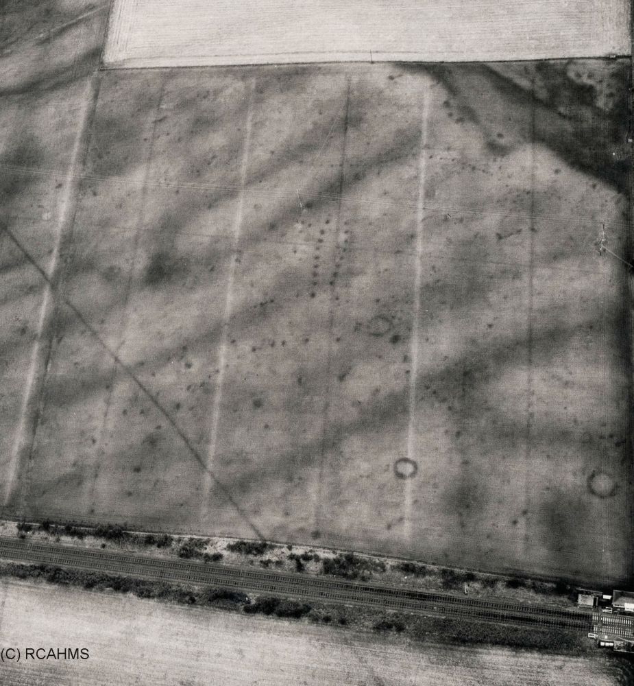
A large Neolithic circular enclosure with two concentric rows of
pits, and a pit-defined avenue heading southwards towards the large
earthen mound of Dunragit Mote was first recognised by cropmarks
visible on aerial photographs.
Excavation by Manchester University in the early 2000s revealed
it to be a large timber henge, where one circle of timbers had
eventually gone out of use and been replaced by another. Some of
the holes for the timbers were over a metre across and nearly a
metre deep. They could have held timber uprights made from entire
tree trunks up to 10m high, taller than Stonehenge. This is the
largest timber henge known in Scotland.
Ritual activity continued on the site through to the Bronze Age,
when a number of burial mounds or cairns were constructed in the
immediate area. Later ploughed away, the ditch round their
circumference survives as a dark circular cropmark, of which three
are clearly visible on this photograph.
Object no :
NA
Collection :
Creator :
NA
Place of Production :
NA
Dimensions :
NA
Materials :
NA
Location :
NA
Related site :