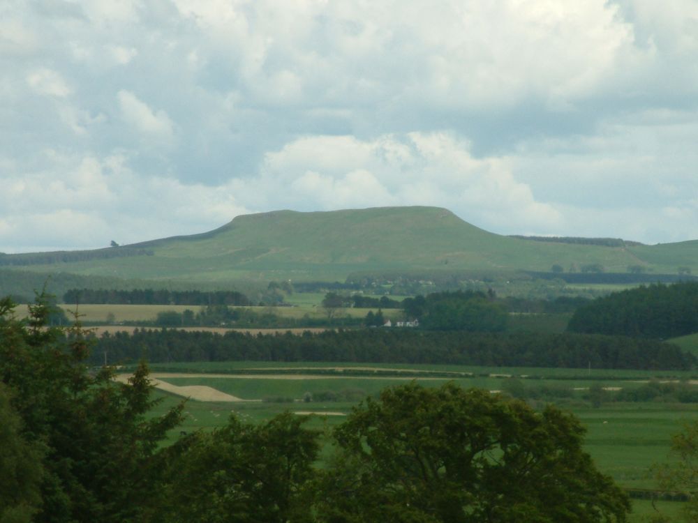
Burnswark
The hill named after the fort is a conspicuous table which
dominates most of Annandale and is widely visible. The fort shows a
development from an oval enclosure measuring about 900 ft (274m) by
650 ft (198m) to an irregularly-shaped defended area 1650 ft (503m)
and 17 acres (7 hectares) in extent.
It has been suggested that this fort, in which excavations (in
1966, by Mr G Jobey) disclosed an original palisade dated to the
7th or 6th century BC, might have been the principal centre or
oppidum of the Novantae.